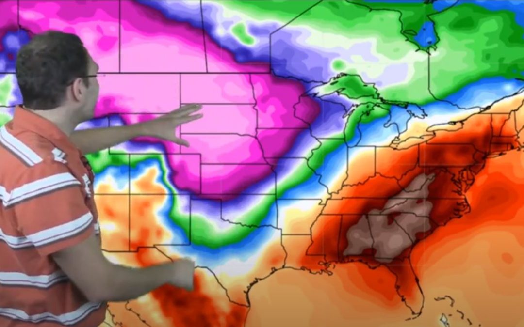
This winter is set to be affected by the cooler than average ocean surface temperatures along the equator causing La Niña conditions. That means it could be drier than average in many parts of the country.
This week starts off with mostly dry then the next big system pushes down from the North early next week with a crazy cyclone swirl of cold weather that could amount to significant snow.
Today and most of this week, nearly all of the U.S. is expected to be dry with virtually no precipitation. The one big exception to that is a few spots in the Pacific Northwest.
This week started with the lucky streak of much warmer than average temperatures across most of the country coming to an end. Many areas had temperatures 20-30 degrees above average! What’s next?
It’s not just the election maps that are showing a lot of both blue AND red this week! The forecast is quite a mix of temps too. See what to expect this week besides a crazy election.
Weather forecast shows lots of variation this week. The map is a rainbow of colors this week with both higher and lower than average temperatures.