11/5/2020 Contractors Winter Forecast
It’s not just the election maps that are showing a lot of both blue AND red this week! The forecast is quite a mix of temps too. Brian Ivey from Neoweather gave Snow Plow News a rundown of what’s happening this week aside from all the election drama – and he did so in his election day best attire! If Neoweather had a vote of their own, the “Sunshine and Comfy” forecast would win, and that’s exactly what they’re expecting most of the country to see this week.
High pressure dominates in most of the country this week so it’s mild and quiet (unlike our news channels these days). In fact, the temperatures are well above average in some areas and it remains dry. The only exception is some tropical storm activity that’s expected in Florida as the hurricane season refuses to call it quits.
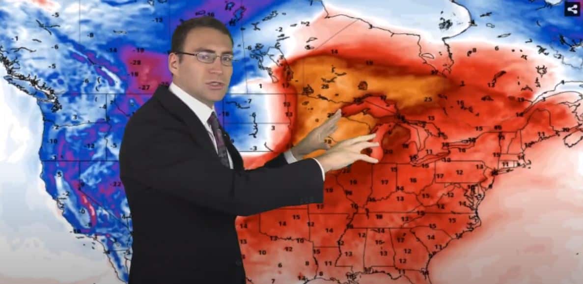
By early next week, the heat moves east and an area of low pressure and much cooler temps sweeps down from Canada into the Pacific Northwest. That’s when we get our patriotic temperature map showing blues out West and Red in the East. By the middle of next week, the colder temps cover most of the country as they continue to spread east.
Precipitation Forecast
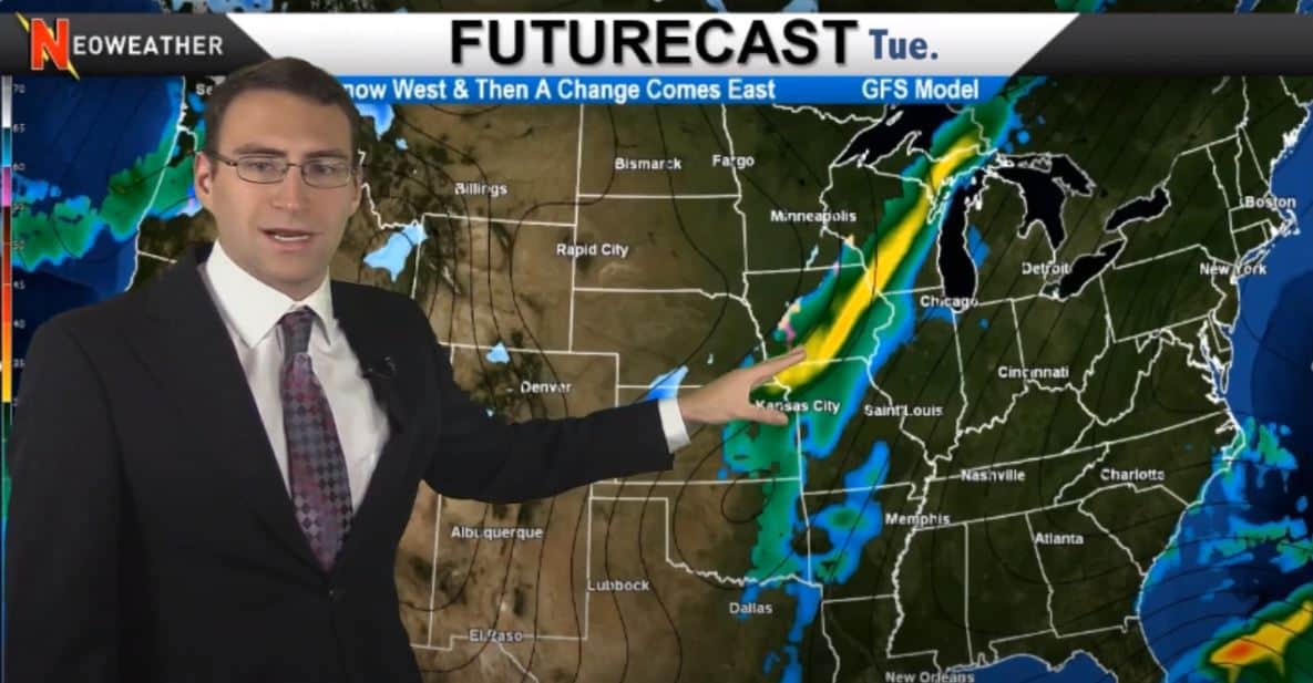
As far as precipitation goes, as we mentioned, the week kicks off with a high-pressure system that keeps most of the country dry. Once the low pressure moves down into the Pacific Northwest and pockets of the Southwest on Sunday, it will bring snow and rain with it. That system will move east into the Mississippi River Valley early next week and turn into a soggy front that will bring a lot of rain with it as it continues east. Behind that system, there will be colder air again in the Pacific Northwest and Rockies as winter keeps revving up for the season.

Moderate La Niña Brewing Up
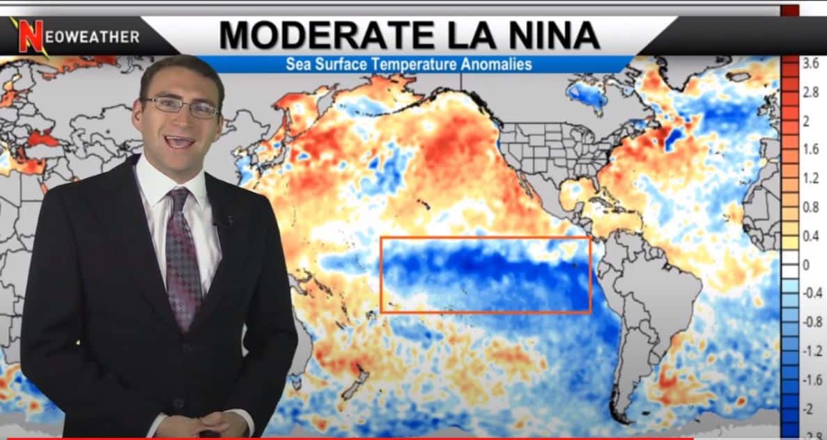
Brian says we have a “moderate” La Niña building up with colder than average ocean surface temperatures in the Equatorial Pacific Ocean. It is getting relatively strong in spots and some weather models are predicting a strong La Niña that will influence some weather patterns for this winter.
The National Weather Service says, “La Niña episodes in the winter months feature a wave-like jet stream flow across the United States and Canada, which causes colder and stormier than average conditions across the North, and warmer and less stormy conditions across the south. Historically for this part of the Midwest, fall tends to be warmer and drier than normal while winters tend to be wetter than normal. However, there are also many other complicated factors in the atmosphere and oceans that can also impact our weather patterns.” So keep an eye on our upcoming forecasts to see what’s in store for you this winter.

11/5/2020 Weather Forecast Video
Watch this week’s winter forecast video for snow contractors from Neoweather below to get all the details on the coming week. If you are tired of inaccurate weather forecasts or generic apps that don’t give you the details you need to run your weather-dependent business, contact Neoweather for a free quote on their private forecasting services.
