Buffalo, New York measures snow fall in feet during three day snow storm.
November 30 , 2022 | Emma Tyborski
The snow belts of New York, whether it’s near Buffalo, New York or to the East of Lake Ontario are no stranger to measuring in feet of snow from big lake effect snow storms. There have been many impressive storms that have rolled through these areas over the years, but last week’s snow event stands out.
The National Weather Service office in Buffalo documented extreme totals that maxed out at 81.2 inches in Erie County, which includes Buffalo and its southern suburbs, among them Orchard Park, Hamburg and Blasdell.

Several snowfall reports between Nov. 17 and 20 exceeded 50 inches in New York’s Erie County, which includes the city of Buffalo. Total accumulations in excess of 80 inches may be unprecedented for locations in the vicinity of Lake Erie. (National Weather Service)
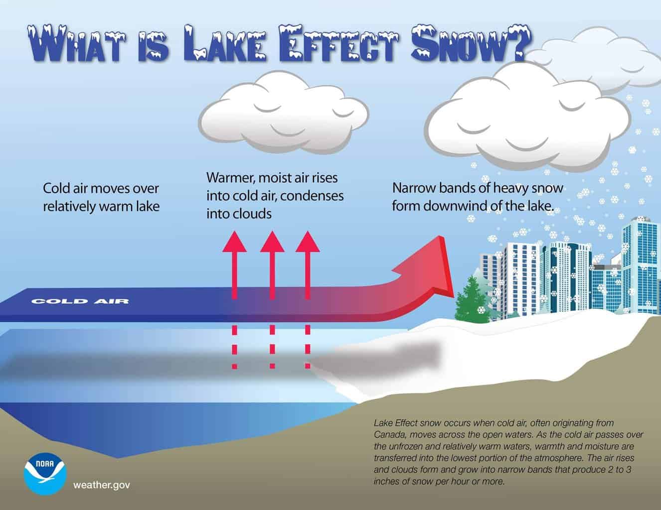
So what phenomenon brings on feet of snow in a mere 24 hours? Lake-effect snow. Lake-effect snow develops when cold, dry air, flows across the warmer waters of the Great Lakes during the late-fall and winter months. The cold air passes over the lakes, warmth and moisture from the water are picked up and transferred into the lowest portion of the Earth’s atmosphere. The rising air condenses into clouds, which can grow into narrow bands that are capable of producing snowfall rates of 2 to 3 inches per hour or more, according to the National Weather Service.

Before Friday, the most prolific Buffalo-area lake effect snow event likely occurred in mid-November 2014, when three towns in Erie County each measured more than 60 inches of snow.
The total snow accumulation for this storm is currently being vetted, but regardless of the official total, this was quite a storm.
