Say it isn’t Snow!
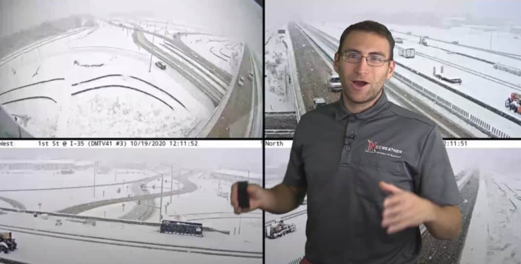
A major snowstorm hit Iowa yesterday reintroducing the Midwest to slippery roads and traffic delays. They saw 4-9 inches of snow fall in just a couple of hours, crippling parts of Des Moines and Cedar Rapids. Is there more coming soon? YES! Keep reading for all the details from Brian Ivey at Neoweather.
This week kicked off with that snow covering most of Minnesota, Northern Wisconsin, the U.P., and of course, Iowa. It dipped down from Canada like Neoweather warned us last week, and made a brief visit to the Midwest. Today it’s heading back up to Canada where it belongs and sticking around for a few days up there.
That’s not where the snow action stops this week.
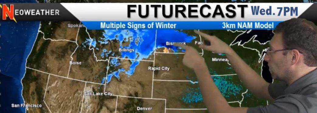
Wednesday another system gets organized in the Northwest, hopping on the active Pacific Jet Stream to bring multiple waves of cold and snow across the area through the Northern Plains.

South of all the snowy action, things are pretty quiet, but we do expect to see some rain in Oklahoma, Missouri, Illinois, and the Ohio Valley, up into New England on Tuesday and Wednesday.
Cold Temperatures Expected
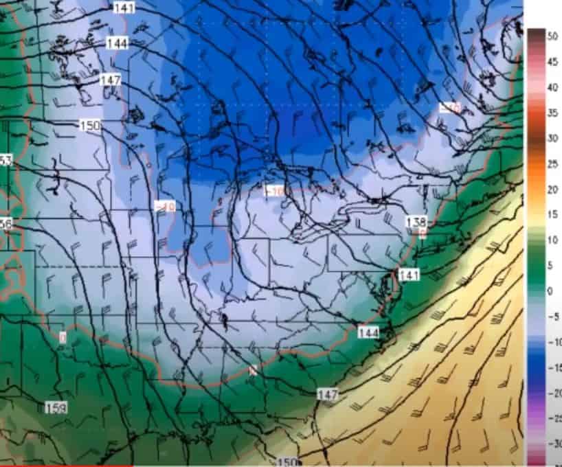
The cold air dipping down from Canada this week and into next week is going to give the Northern Plains and Midwest a spoonful of some pretty cold winter weather well in advance of the norm. This will collide with warmer temperatures pushing up from the South, but the cold will overrule it and most of the country will be cooler than average for a few days. Even Texas and the Tennessee Valley will feel the chill. The cold won’t stick around long in the West, and things will heat up again quickly.
The significance of this drop in temps is that it will amplify the weather pattern and cause a repeat of another cold system and moderate to heavy snow will be likely as it rides the cold air down across the country.

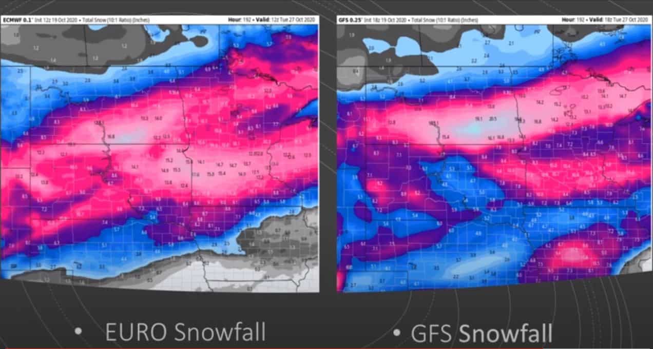
How much snow is expected over the next week? It’s actually pretty scary (or exciting if you’re a snow contractor in the areas below). Both the European model and GFS model are predicting heavy snowfall totals up to 15-20 inches. Brian Ivey cautions the faith in these models but wants to be sure you’re prepared, just in case they are accurate, so he’s sharing them below.
Tuesday, October 27, 2020 Snow Models

10/20/2020 Weather Forecast Video
Watch Neoweather’s winter forecast for snow contractors video this week with all the details below. If you are ready to explore private forecasting just for YOUR service area instead of relying on generic weather apps and generalized news, Contact Neoweather today!
