Major Lake Effect Snow
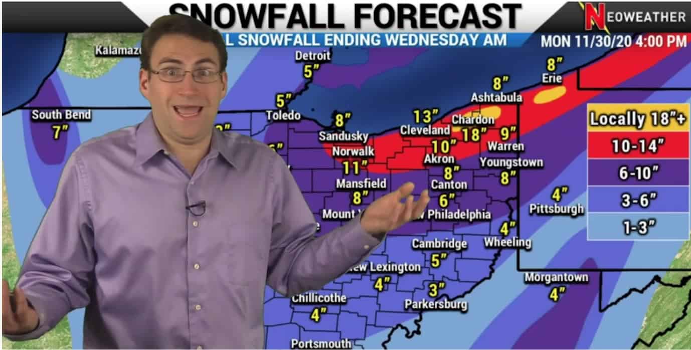
We were watching for big snow potential from the extremely cold temps and moisture system as it moved over the Great Lakes and it came through on Tuesday. Some areas saw up to a foot of snow. This system is expected to slowly move east and huddle around the Great Lakes bringing as much as 20 inches to the highest elevations and small pockets. Most areas will see snowfall totals of more like 4-8 inches.
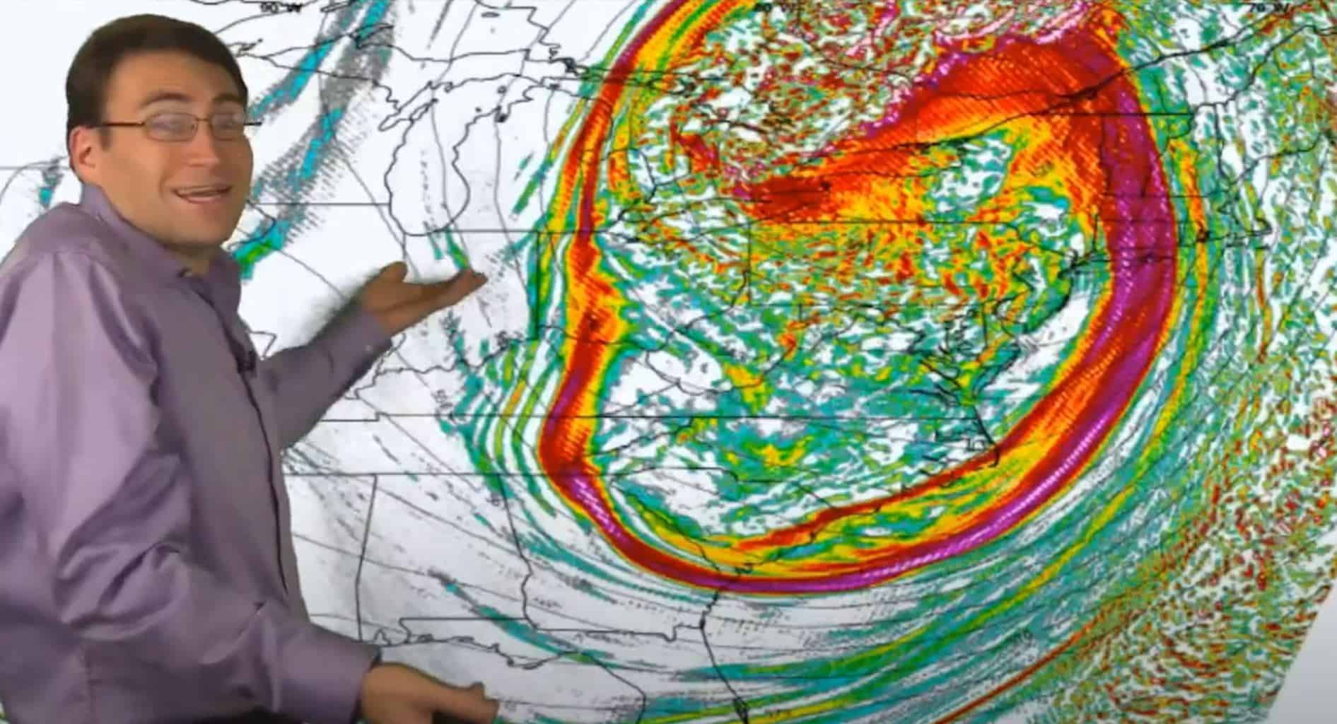
The system broke out over the Great Lakes and the Ohio Valley on Tuesday morning, stretching as far south as West Virginia. The “cyclone” pattern we talked about last week is happening where a swirl of pressure is bringing the warm air on the east coast up into the north where it’s becoming very cold, then that cold air is pushing down over the warm waters of the Great Lakes and producing major snow.
Cyclone of Cold Air & Pressure: It Happened!

The upper-level energy shows a huge dip and rotation sending the warm, moist air north and bringing down the cold air over the Great Lakes causing big-time snow.
12/2/2020 Weather Forecast Video
Watch Neoweather’s winter forecast video for snow contractors below for all the details on this winter storm.
Custom Weather Forecasting Services for Snow Contractors
Looking for more 10-20 times the details on upcoming winter storms that will effect your snow and ice operations? Contact Neoweather for a free quote!
